|
| *****SWAAG_ID***** | 404 |
| Date Entered | 27/12/2011 |
| Updated on | 13/02/2012 |
| Recorded by | Tim Laurie |
| Category | Tree Site Record |
| Record Type | Botanical HER |
| Site Access | Public Access Land |
| Record Date | 08/08/2011 |
| Location | Kisdon North Gang Scars |
| Civil Parish | Muker |
| Brit. National Grid | NY 90333 00359 |
| Altitude | 411m |
| Geology | The Main Limestone exposed intermittently over a distance of 1km as small well vegetated cliffs and scree slopes below, each with different woodland composition but no juniper or aspen here. Mineralised at the North Gang Vein.
This is the most northerly of three cliffs recorded. |
| Record Name | MUK155. Muker CP. Kisdon North Gang Scars. Relict woodland with isolated yew. |
| Record Description | Relict woodland on very small limestone outcrop facing North East with one isolated yew, ash, rowan, birch and hawthorn. Mossy saxifrage in scree below.
Vegetation not yet recorded.
|
| Dimensions | See photographs |
| Geographical area | Upper Swaledale |
| Species | One isolated yew, ash, rowan, birch, hawthorn, |
| Common / Notable Species | Mossy saxifrage in scree. |
| Additional Notes | Juniper and aspen are not present here. |
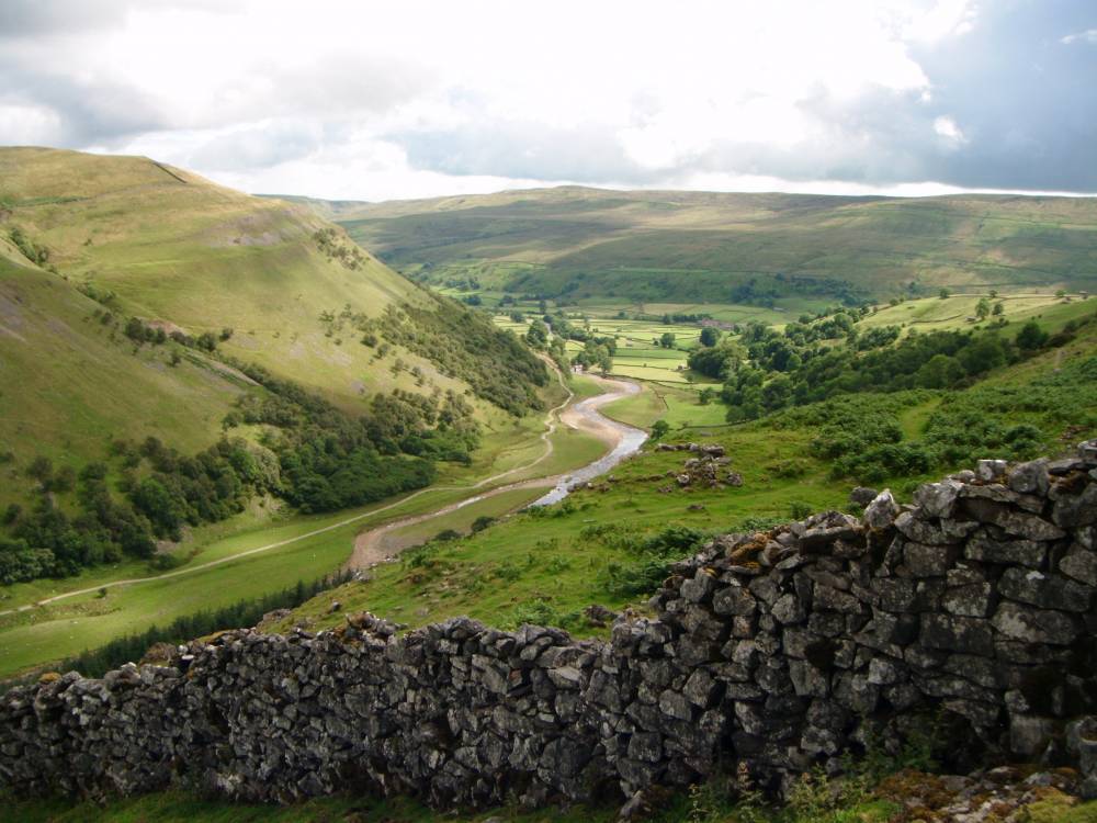
| Image 1 ID | 952 Click image to enlarge |
| Image 1 Description | Swaledale and Ivelet Side from North Gang Scars | 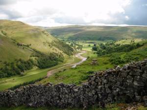 |
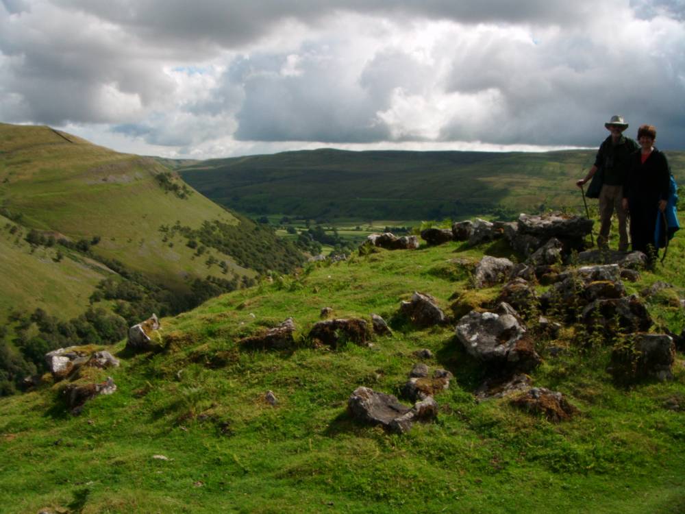
| Image 2 ID | 953 Click image to enlarge |
| Image 2 Description | Ring cairn at edge of the terrace. North Gang Scars. |  |
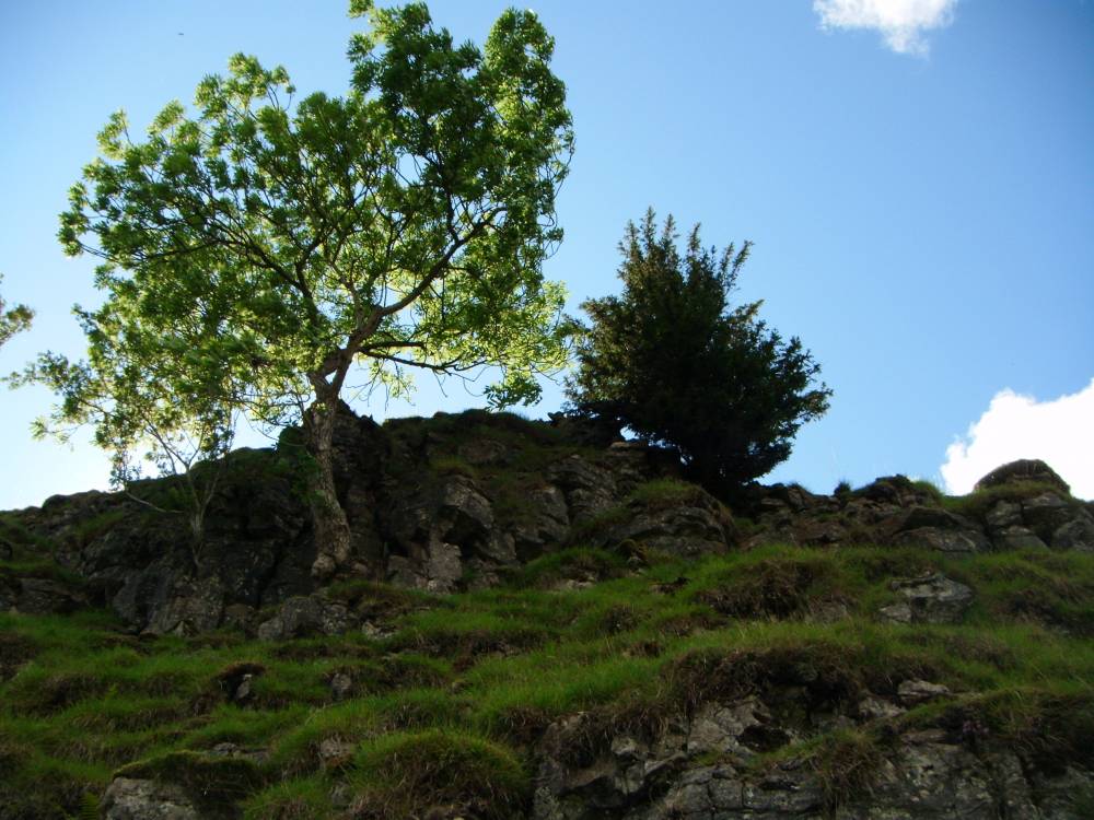
| Image 3 ID | 1819 Click image to enlarge |
| Image 3 Description | Isolated yew with ash on NE facing cliff at 411m. |  |
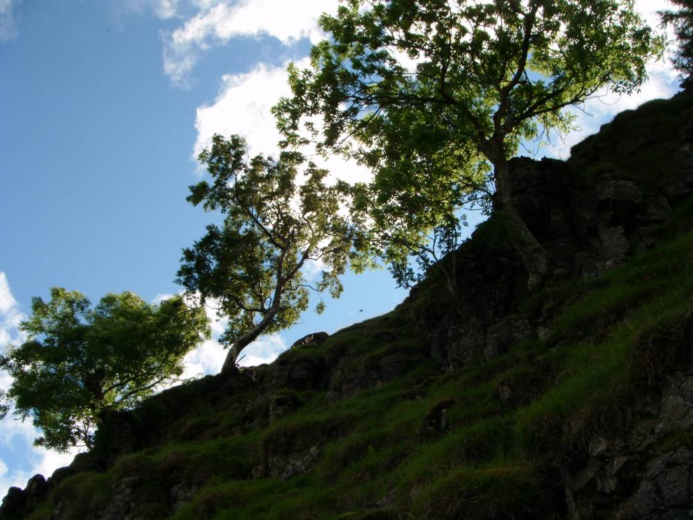
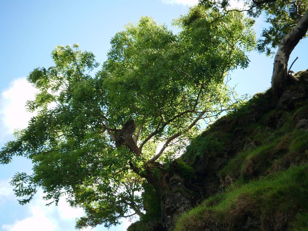
| Image 4 ID | 1820 Click image to enlarge |
| Image 4 Description | Ash on NE facing cliff at 411m |  |
| Image 5 ID | 1821 Click image to enlarge |
| Image 5 Description | Ash on NE facing cliff at 411m | 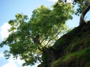 |